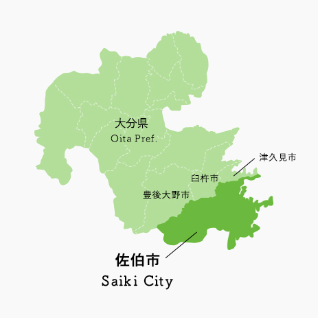
大分県の南東部に位置し、北は津久見市、西は臼杵市及び豊後大野市、南は宮崎県境に接しています。
南部から西部にかけては「祖母傾国定公園」の一角をなす山々に囲まれ、東部は遠くに四国を望む豊後水道に面し、「日豊海岸国定公園」に指定されてる約270kmに及ぶ美しいリアス式海岸が続いています。
年間平均気温は16度前後と温暖な気候で、冬でも積雪はほとんどありません。
また、九州有数の清流・番匠川をはじめ多くの支流も有し、豊かな水に恵まれた地域でもあり、市の中心地はその番匠川の河口に広がる沖積平野にあります。
(九州で一番広い市です 出典 佐伯市ホームページ)
Saiki-City is located south east of Oita Prefecture and has biggest area among cities in Kyushu district. Population is around 72,000 and have long historic story from ancient to modern times. People here is characterized as gentle and warm hearted to welcome to provide you “Omotenashi” mind during your stay.
When you once visit here, you encounter beauty of nature like emerald green coastline and beautiful scenery deep in the mountain which give you tranquility in every season.
And it’s definitely awesome once you experienced.
Another attractiveness is local food. Absolutely good and you will be moved with all materials from sea, mountain and clear water as well.
We welcome you from the bottom of our heart.
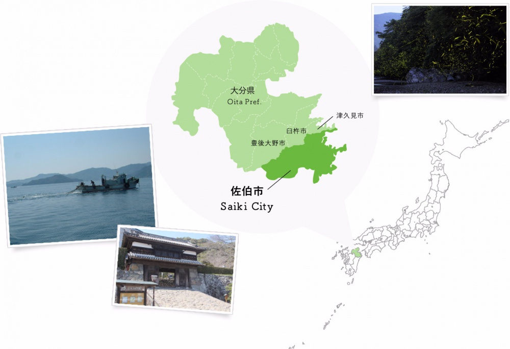
佐伯市の概要
about Saiki
| 人口数・世帯数 | 72,203人、29,575世帯 |
|---|---|
| 面 積 | 903.11平方キロメートル(耕地2.7%/林野87.3%/宅地1.3%/その他8.7%) |
| 位 置 | 東経131度54分00秒 北緯32度57分35秒(出典:国土地理院) |



コメントを残す